
Previous Photo

Next Photo
| home | photos | Thailand Photos Map | Phang Nga Bay Map | Phang Nga Bay Letter | world view | search |
|
Thumbnails
Previous Photo |
|
Next Photo |
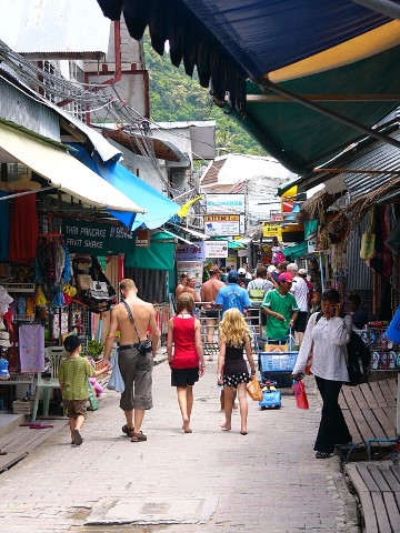
The low sandy area between Phi Phi Don's high hills contains most of the tourist shops and other facilities. The pier for large ferries to the mainland and to Phuket Island is on the south side, as are the longtails waiting to take people snorkeling, fishing and sightseeing. This street of shops was essentially wiped out when the 2004 tsunami washed over it. |